How was the administrative_boundaries_points layer of Benincreated as per the CCG Track 1 Hands on 2 tutorial?
I received a query on the same from someone who wants to replicate the same for Kenya with the admin boundary points data for Kenya.
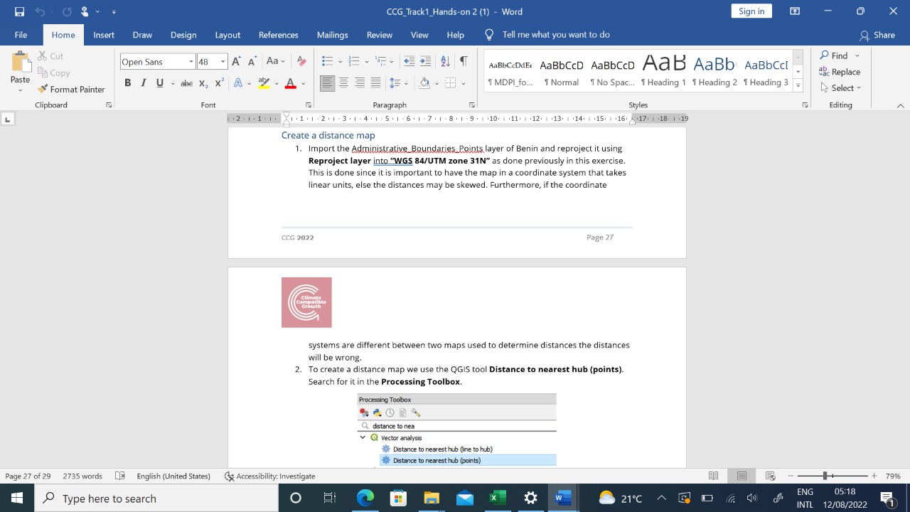
I have attached the extract from the tutorial that refers to it.
Using the administrative boundaries of Benin we ran a tool called Regular Points. This creates a rectangle with the same extent as the administrative boundaries.
In order to get the point layer to match the borders of the country we clipped the points by the administrative boundaries.
Yes, that is correct. The dataset was produced using a value of 1,000 for point spacing. Note however that this is dependent on the coordinate system. The administrative boundaries had already been projected to EPSG:3395 (unit meters).